
Wanderwege
-
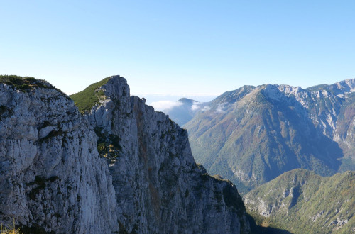
Konj (1813 m)
-
Entfernung
12,00km
-
Dauer
5:30h
-
Anstieg
1273m
-
Difficulty
Schwer
-
Höhe
1813m
-
-
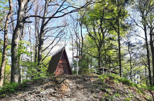
Špilk (957 m)
-
Entfernung
9,00km
-
Dauer
3:30h
-
Anstieg
500m
-
Difficulty
Mittel
-
Höhe
957m
-
-
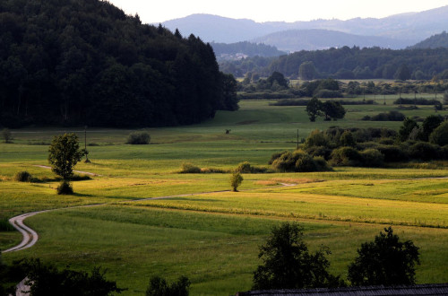
Lehrpfad „Od Šice do Mejice“, Radensko polje
-
Entfernung
4,70km
-
Dauer
1:30h
-
Anstieg
70m
-
Difficulty
Leicht
-
Höhe
392m
-
-
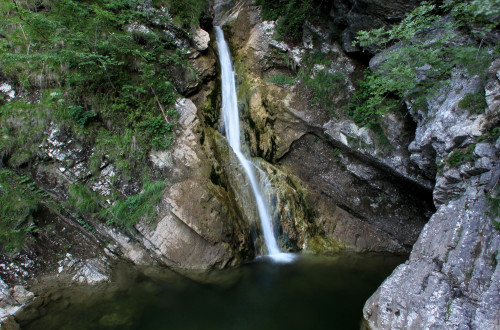
Pekel bei Borovnica (700 m)
-
Entfernung
5,30km
-
Dauer
2:15h
-
Anstieg
365m
-
Difficulty
Schwer
-
Höhe
700m
-
-
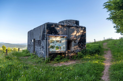
Rupnik-Linie auf Zaplana (690 m)
-
Entfernung
3,50km
-
Dauer
1:45h
-
Anstieg
120m
-
Difficulty
Leicht
-
Höhe
690m
-
-
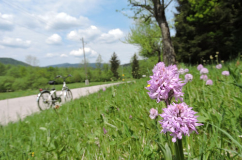
POT MODREGA BLEŠČAVCA (DER WEG DER BLAUFLÜGEL-PRACHTLIBELLE), MIŠJA DOLINA
-
Entfernung
2,00km
-
Dauer
1:00h
-
Difficulty
Leicht
-
-
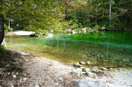
DER WEG AM FLUSS IŠKA – MÄANDER „POT OB REKI IŠKI – OKLJUK“, LJUBLJANSKO BARJE (LJUBLJANA-MOOR)
-
Entfernung
26,00km
-
Dauer
4:30h
-
Difficulty
Mittel
-
-
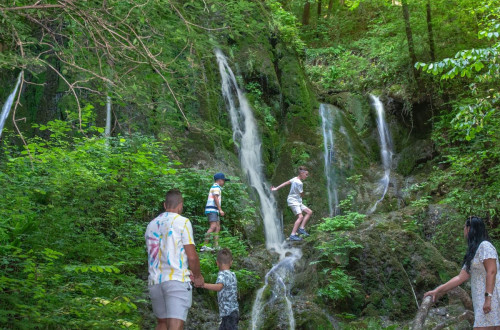
DER WEG DER ZWEI WASSERFÄLLE OBERHALB VON VIŠNJA GORA (748m)
-
Entfernung
14,70km
-
Dauer
5:00h
-
Anstieg
400m
-
Difficulty
Mittel
-
Höhe
748m
-
-
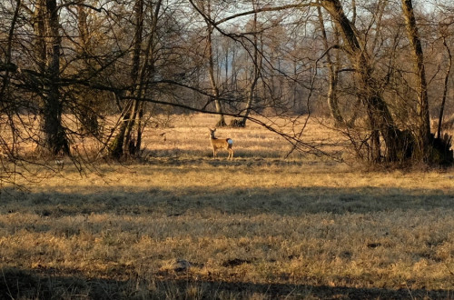
Der Weg „Pot Barjanska okna“
-
Entfernung
3,40km
-
Dauer
1:00h
-
Difficulty
Leicht
-
-
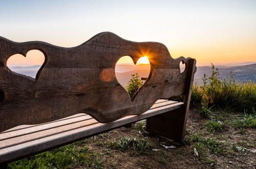
Ostri vrh und Stari grad (675 m)
-
Entfernung
5,20km
-
Dauer
2:15h
-
Anstieg
250m
-
Difficulty
Leicht
-
Höhe
675m
-