VIBRANT.
VIVID.
#VISITLJUBLJANA
-
Saturday
25°C -
Sunday
30°C -
Monday
16°C
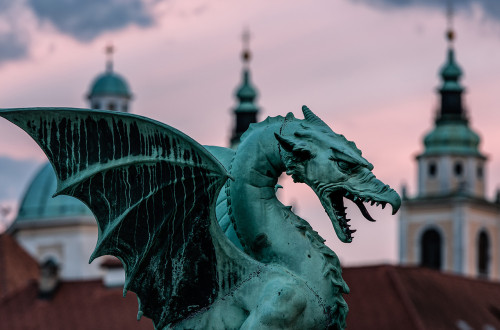
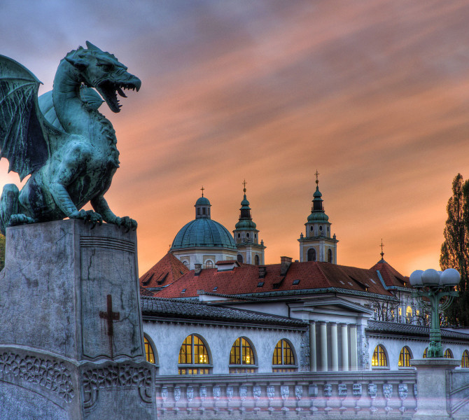
- The legend of Ljubljana, the city of dragons
- Points of Interest
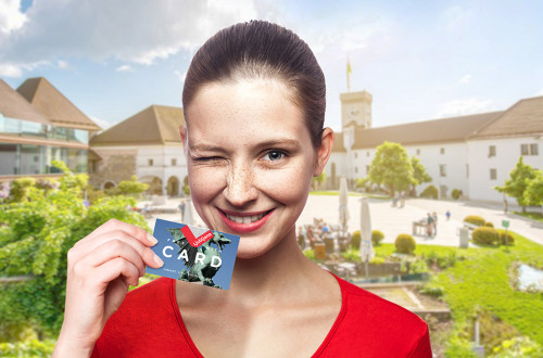
- Discover Ljubljana Affordably with the Ljubljana Card
- Book Tours and trips in Ljubljana Region and Slovenia
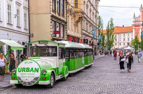
- A circular ride with the Urban electric Train
- Sustainable Tourism in LJ
- Ljubljana360°
- Subscribe to our monthly e-news Fresh from Ljubljana
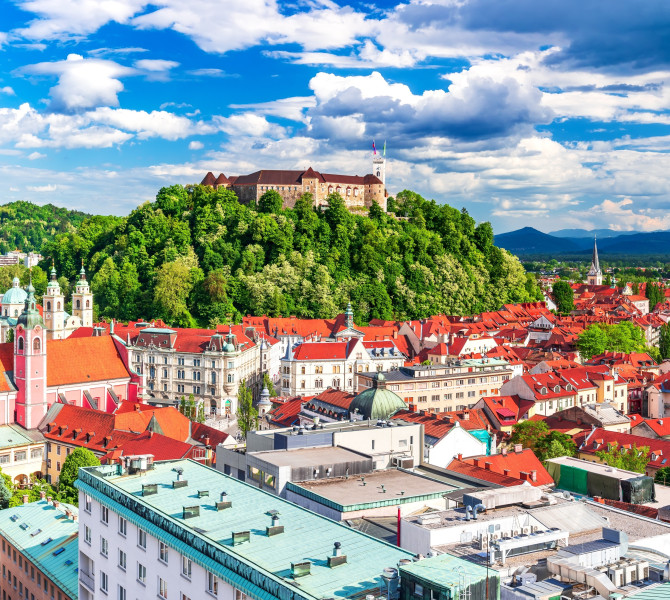
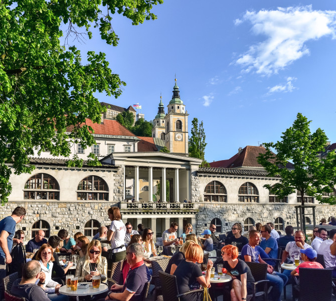
Welcome to Ljubljana, the capital city of Slovenians, where people gather, study, do business, or live. One could say it's like a chameleon - always the right colour for every mood. A city tailored to human needs, cosmopolitan for work, yet green and pleasant for relaxation.
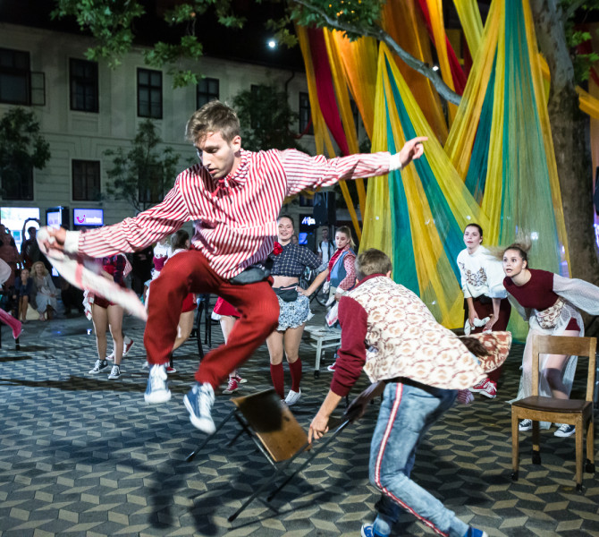
With 50,000 students, it has a youthful vibe, and its rich offer of cultural and sports events, along with a multitude of experiences, ensures that you simply cannot be bored in the city.
Indulge in the charm of the Slovenian capital, which is:
- an interesting blend of various cultural influences
- one of the hottest European culinary destinations
- one of the leading global destinations for a sustainable lifestyle
- a city with a green soul
- an excellent location for congresses and conferences
- a focal point for unforgettable events and venues
- a home to numerous museums, galleries, and cultural institutions
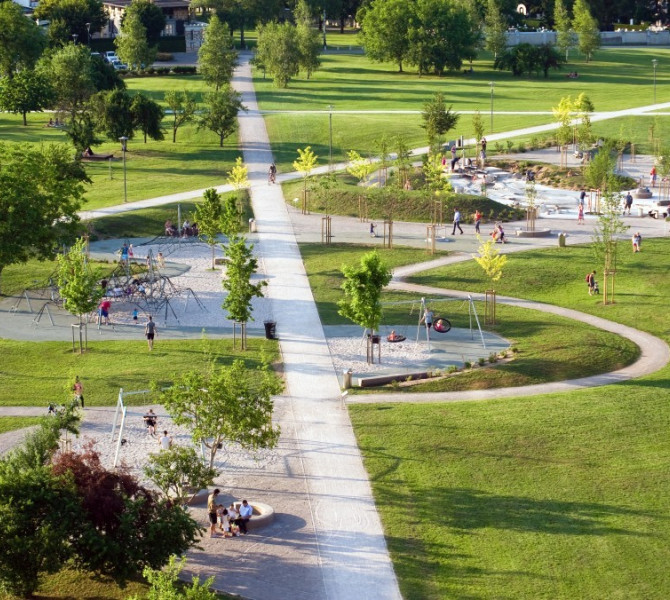
- a haven for outdoor enthusiasts, offering scenic parks, riverside promenades, and numerous recreational activities
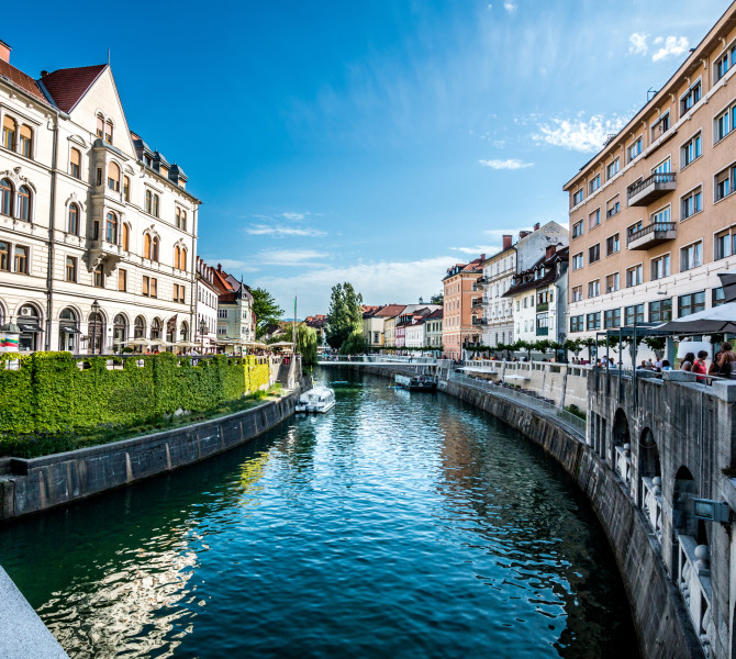
- a treasure trove of history and architecture, with enchanting medieval streets, majestic castles, and modern architectural marvels waiting to be explored
Unique experiences
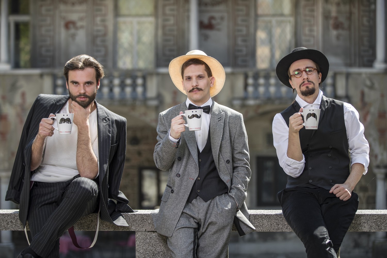
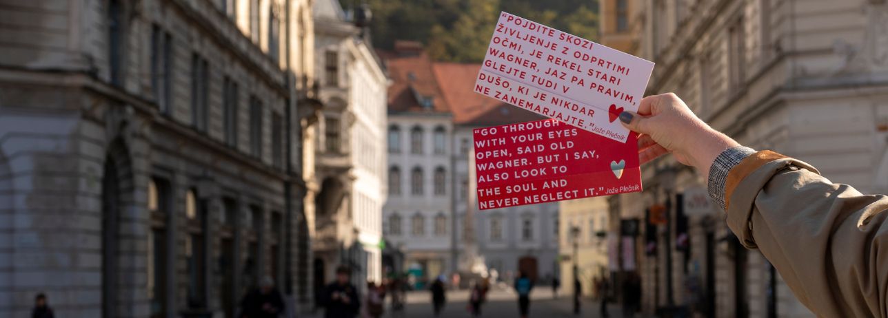
Moustache, charm and a dash of mischief... Discover Ljubljana's stories you won't find anywhere else.
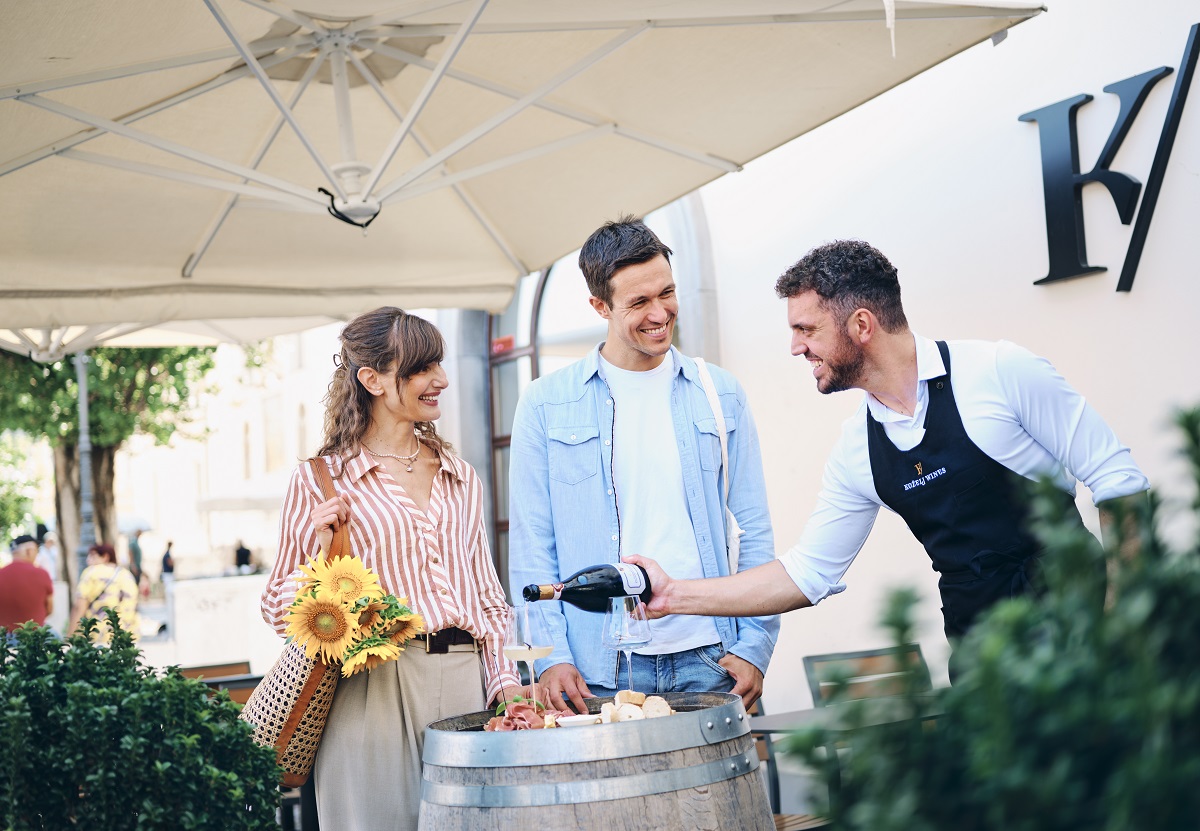
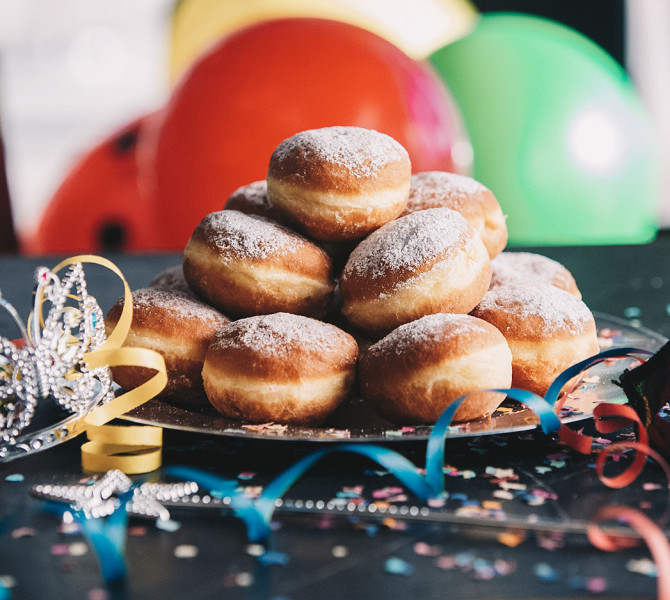
The best food experiences in Ljubljana – only with us!
If gastronomy is one of the main reasons you love to travel, and if you enjoy exploring a place by sampling its typical food and drink, our special food experiences are just the thing for you.
Gift voucher
Give your loved ones an unforgettable experience that will be etched in their memories. Choose from a wide range of experiences in the beautiful city of Ljubljana.
With a Ljubljana Tourism gift voucher, give more than just a visit to Ljubljana - experience it like never before.
Highlights
-
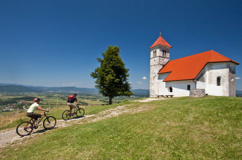
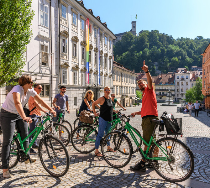
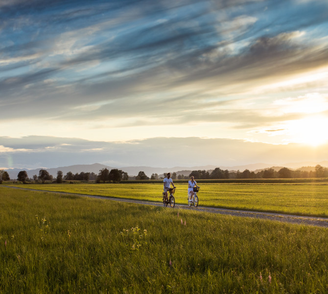
Unique Blend of Urban Cycling and Authentic Discoveries on Ljubljana’s Doorstep!
Cycling is a great way to make the most of exploring the Slovenian capital and the green area around it!
-
We invite you to embark on this journey of discovery through the Slovenian capital and its outskirts in the historical spirit of the famous Camino!
-
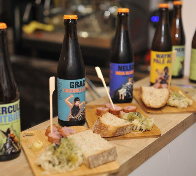
Are you up for a gourmet adventure? Wondering about the easiest and fastest way to sample as much tasty and typical food as possible from popular chefs and restaurants in Ljubljana and the area around it, as well as from other parts of Slovenia? The answer is simple: visit the ultra-popular Open Kitchen Friday food market and order one of the special Gourmet Ljubljana Tasting Menus!
-
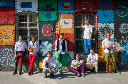
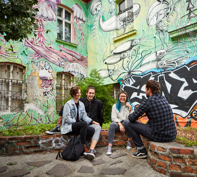
Is Ljubljana the European capital with the most creativity per square metre? We think so.
-
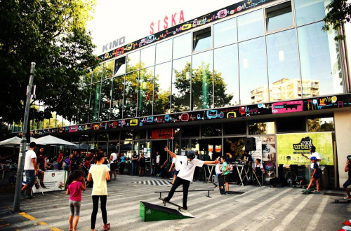
In collaboration with the inhabitants of various districts of the city and representatives of the creative sector, Ljubljana Tourism is working hard to promote the development of recognisable cultural and artistic quarters.
-
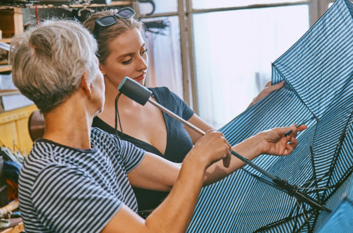
Discover a side of the city that many might think is long gone, yet is very much alive. Experience the capital’s unique, authentic and sustainable stories through craft workshops! The crafts are kept alive by artisans who share a love of tradition and manual work that defies mass consumerism.
Locals recommend
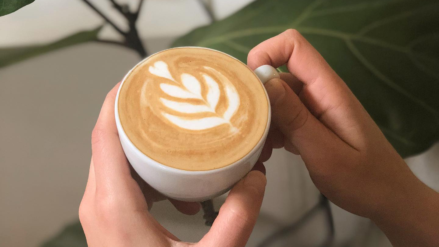
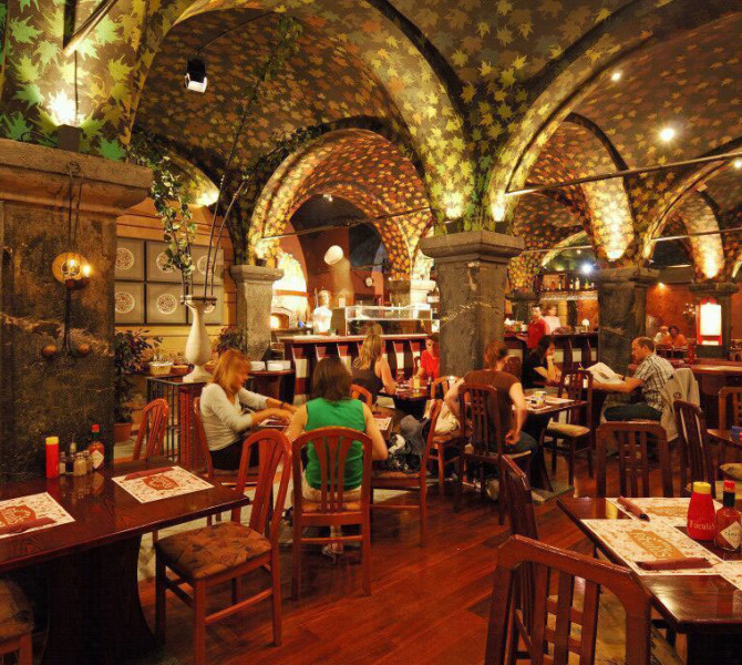
"When we say, 'Let's go for coffee!' it doesn't mean we're going to have a black, bitter, caffeinated drink originating from Ethiopia, which has successfully (even more so than the British) colonized the whole world. No. What we mean is, 'Let's go somewhere and sit for hours while ordering some (non-alcoholic) drink.''
Katarina is an anthropologist who loves exploring other cultures and lifestyles. Although Ljubljana is not her favorite city in the world, she has grown fond of its many excellent cafes and compiled them in an article.
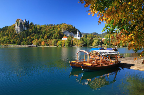
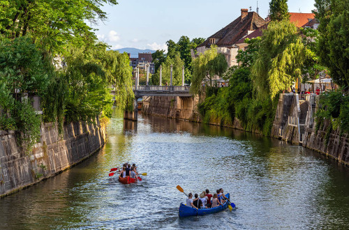
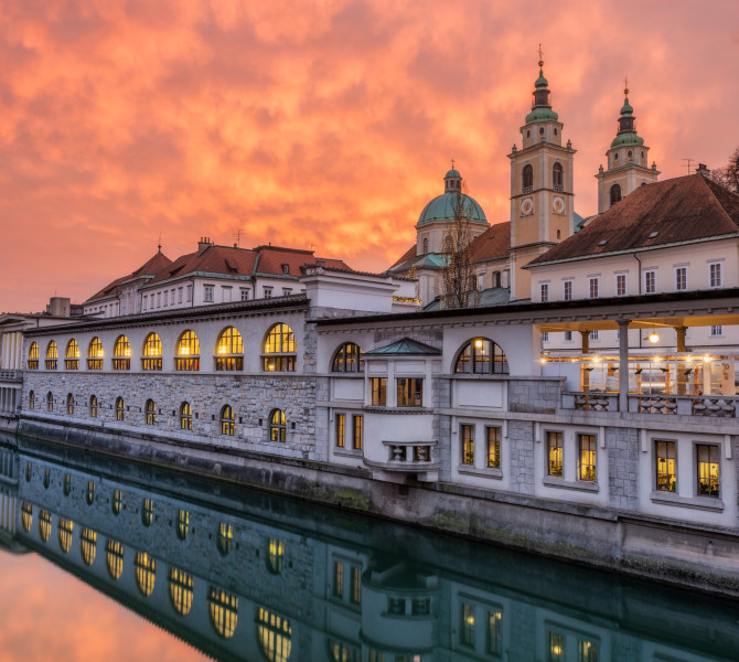
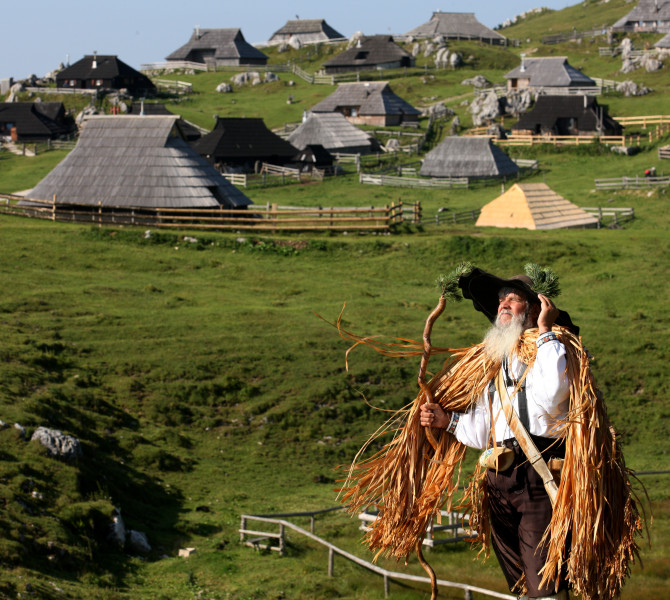
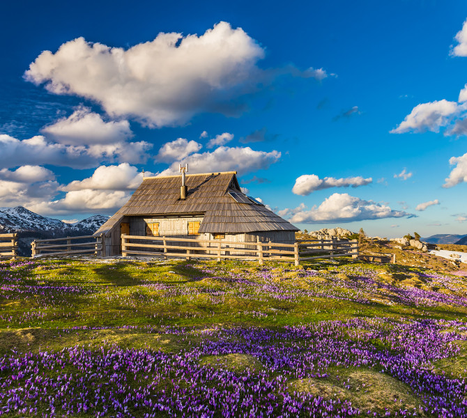
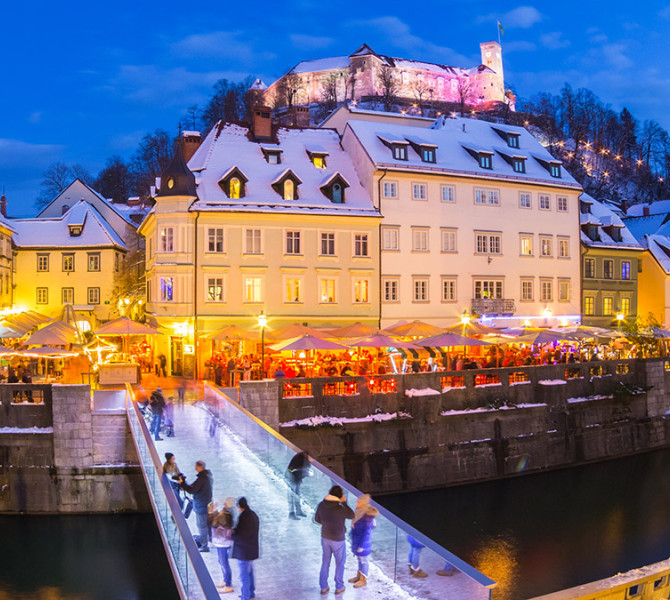
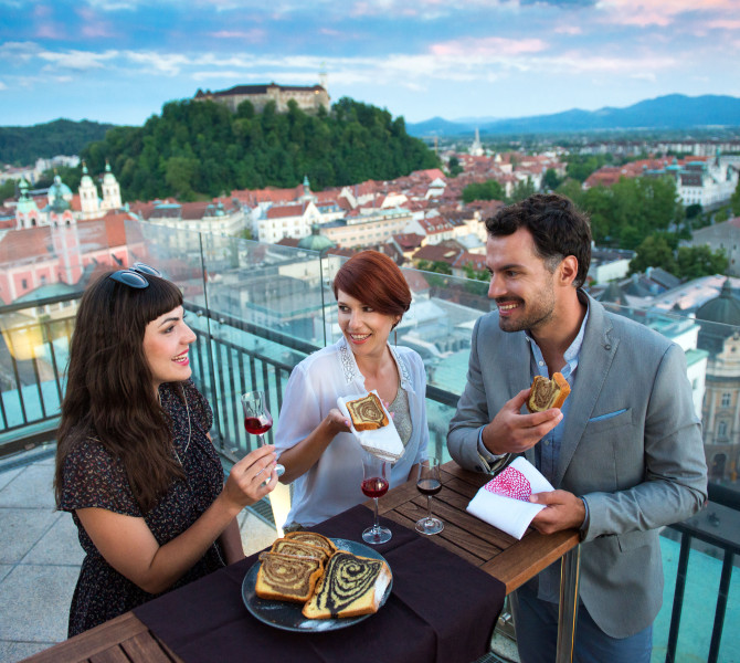
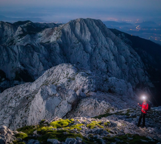
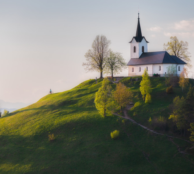
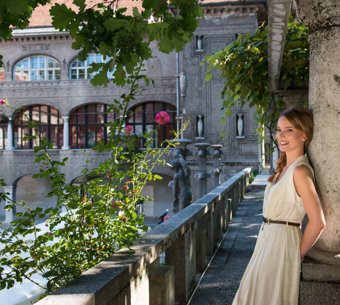
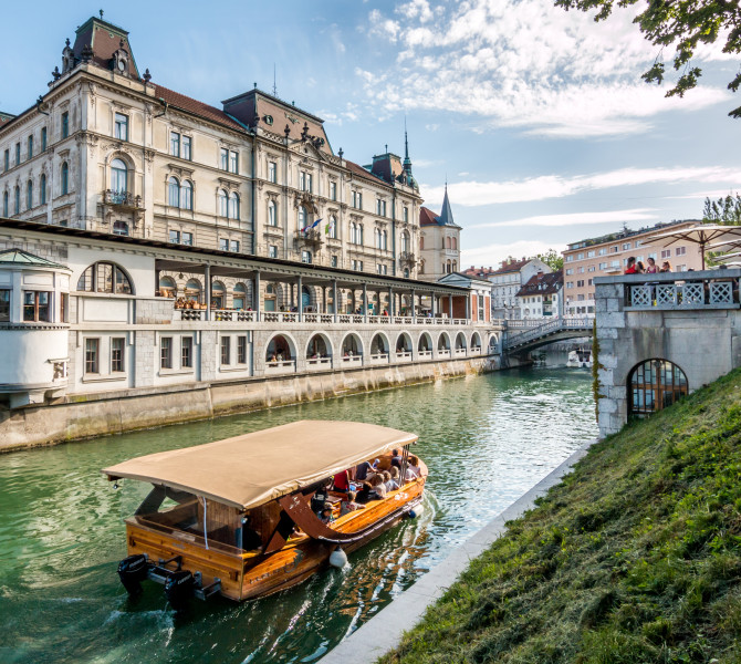
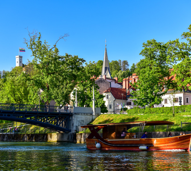
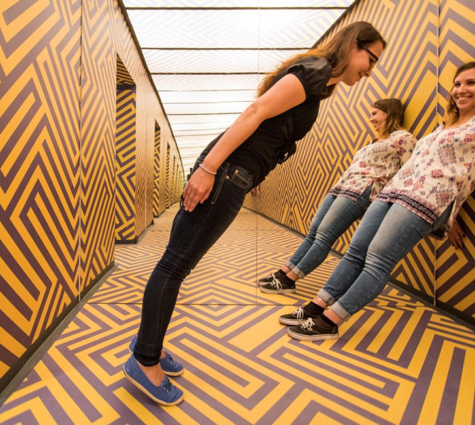
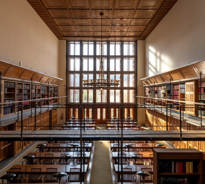
The beauties of Ljubljana and the region
-
© Ljubljana Tourism Archive
-
-
-
-
-
-
-
-
-
© Ana Pogačar
-
-
-
-
-

-
-
-
-
-
-
-
-
-
-
© Arhiv
-
-
-