Around a dozen routes lead to the summit of Šmarna Gora from various starting points – including Pot čez Peske, one of the oldest routes. It takes its name from the limestone gravel which, a century ago, local women used to dig here and sell at the market as a product for scouring burnt food from metal cookware.
It is also one of the “friendliest” routes up Šmarna Gora: never too exposed, with no steep slopes, pleasant to walk on even after rain (when many of the other routes are muddy) and also very varied in its first section.
Park at the large gravel parking area beside the road in Vikrče. The parking lot is marked by a wooden sign saying "Parkirišče" and an information board showing the network of trails crisscrossing Šmarna gora. From here, walk uphill along the pavement beside the road at the hill’s base until you reach the red signpost for the Route via Peske (Pot čez Peske). The trail passes between houses and soon enters the forest. Initially, the ascent is gentle on a comfortable, wide path partly covered with stones and tree roots. But soon the path narrows and becomes somewhat steeper. You will walk over increasingly sandy soil, rocks, and roots, and partly through a relatively deep ravine. This is the steepest and also the most rugged path.
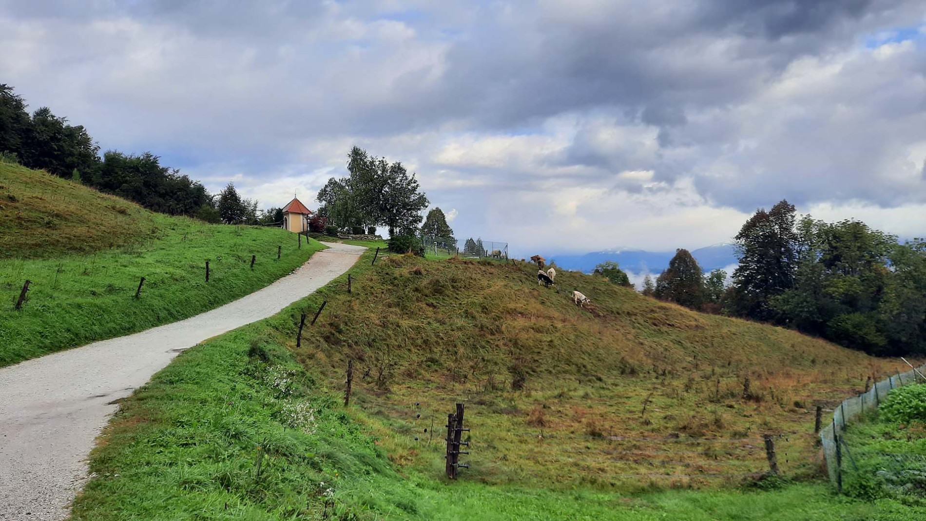
As the path widens and levels out, it joins the wide macadam road from the village of Zavrh that provides vehicular access to Šmarna Gora. At this point a hiking board directs you to the right, past the “Turk’s Shrine”, commemorating the period of Ottoman incursions. The road now climbs up gently through a wood, which then opens up. On the left is the “Gorjanc Chapel”, a wayside shrine built at the same time as the nearby Gorjanc farmhouse; as with the other wayside shrines on Šmarna Gora, the custom of placing small crosses still survives here. The route now takes you through pastureland, with views opening up towards the Kamnik-Savinja Alps and, eventually, the Julian Alps with Triglav. After passing a group of buildings on which a faded sign tells you that there was once an inn here, you come to a saddle where the path joins those from Tacen, Šmartno or Vikrče (over Grmada). Continue to the fork, where there are two options for the ascent to the summit: either continue along the macadam road or enter the forest and ascend the narrower, rockier and steeper path that leads past the wayside chapel dedicated to the Holy Sabbath. Our recommendation is to go up by this latter route and come down by the other, gentler route.
Once at the summit of Šmarna Gora, it is worth taking time in fine weather to enjoy the wonderful views of Ljubljana, the river Sava, the surrounding hills and the Alps beyond. Rest in the shelter of the pilgrimage church; numerous tables and benches are available beneath its walls. Treat yourself to a snack or lunch from Gostilna Ledinek, with a menu consisting of traditional Slovene dishes.
Below the church is a children’s playground and an open-air fitness area. Before going back down the hill you can ring a bell for good luck – St Anthony’s Bell just below the summit is also known as the “wishing bell”.
Descent
Same route as the ascent.
Starting point
Parking lot in Vikrče
LPP bus number 15
Food and drink


