Šmarna Gora – Combination: Route via Spodnja Kuhinja + Path of Freedom + Ascent from the Turk’s Shrine
© Mateja Gruden

© Mateja Gruden

© Mateja Gruden

© Mateja Gruden

© Dunja Wedam
For explorers: Šmarna Gora combination
Šmarna Gora, Ljubljana’s highest (and most popular) hill, is criss-crossed by numerous hiking trails. There are so many of them that sooner or later they meet others, either crossing them or joining them. This means that even regular visitors can take a slightly different route up the hill each time, following different paths. This is particularly welcome on fine weekends when Gora (“the Mountain”), as locals call it, can get very busy. Understandably. . . The summit of Šmarna Gora offers wonderful views and also a traditional restaurant or gostilna with excellent Slovene cooking. This is certainly one place that is well worth the climb!
Around a dozen routes lead to the summit of Šmarna Gora from various starting points. This particular excursion is a combination of different routes and an example of how it is possible to vary or even extend an ascent of the hill while discovering its lesser known slopes and avoiding the crowds at the busiest times.
We will start with the most popular trail, the route via Spodnja Kuhinja (Pot čez Spodnjo Kuhinjo) and then continue on the largely secluded Path of Freedom (Pot svobode), which actually circles the hill, and then continue up to the summit via one of the least used trails, on the slope facing the Gorenjska region.
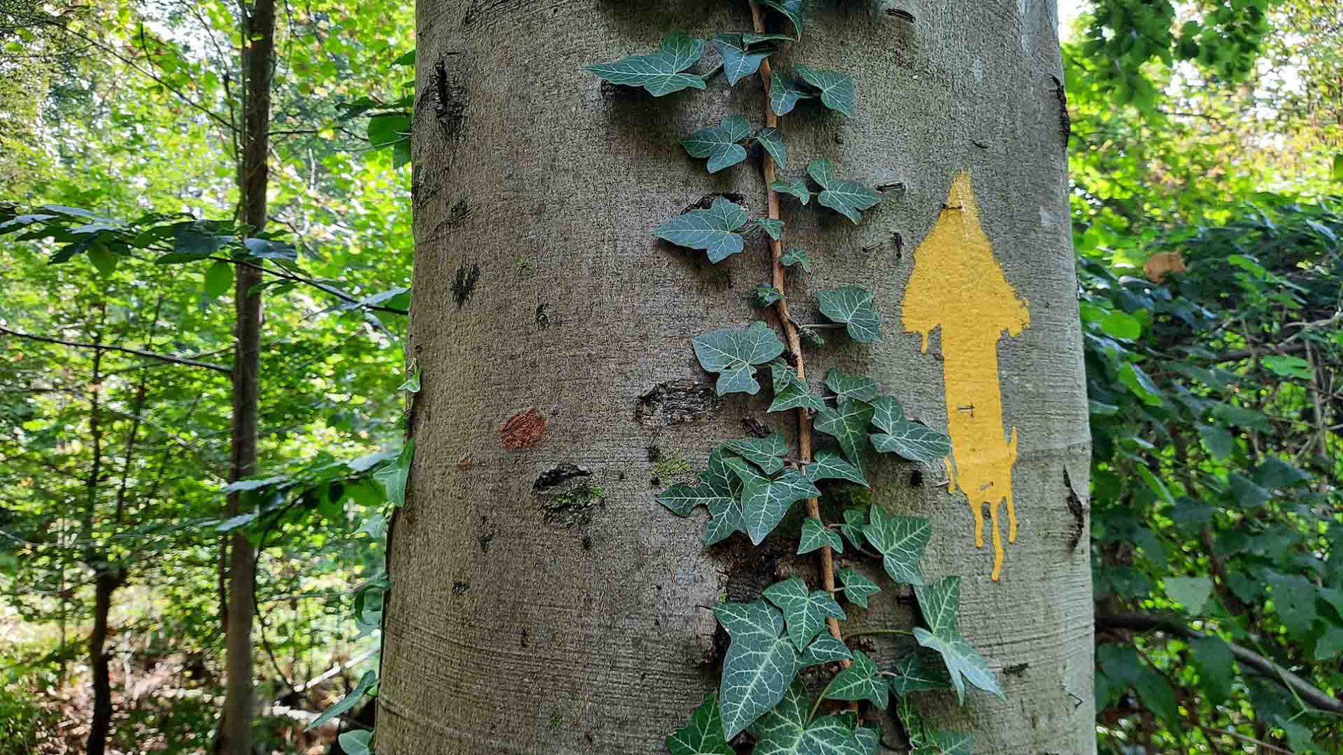
The route via Spodnja Kuhinja (also known as the "Route over the Roots") begins just beyond the cluster of houses, with a short flight of stone steps leading into the forest beside a large information board about Šmarna gora. At first, the route ascends on a relatively steep and well-made path that widens and flattens somewhat after the initial climb (this section is called Spodnja Kuhinja). Continuing straight ahead, the terrain becomes steeper and rockier again. When you reach a wide, flat path crossing the trail, leave the route via Spodnja Kuhinja by turning right onto the Path of Freedom (Pot svobode). This path alternates between gradual climbs and descents until you reach a fork, where a little higher on the left you’ll notice the shrine dedicated to Our Lady of Sorrows. The Path of Freedom turns towards this shrine, then soon veers right onto a narrower trail. From here, the route continues mostly flat along a narrow or wider path, sometimes through forest, sometimes through open terrain among bushes and grasses, framed by mountain flowers from spring through autumn. This is the easiest part of the trail, where encounters with other hikers are rare. Scenic views accompany you along the way, overlooking Šmartno in the valley, Rašica, and the Kamnik–Savinja Alps.
After a brief descent, the path starts to climb increasingly steeply and the terrain becomes rockier, until you reach the Turk’s Shrine (which according to legend was erected by an Ottoman Turk who converted to Christianity at the time of the Ottoman incursions and married in Šmartno). Here a faded signpost points you to a steep but well maintained trail over rocks and roots. When the trail starts to level out, you are met with a choice of two routes: if you take the one on the right you will emerge from the forest just below the image of St Anthony the Hermit and the “wishing bell”; the other ends slightly higher up by the fitness area and children’s playground. Go past here and the summit is just a couple of minutes further up.
Once at the summit of Šmarna Gora, it is worth taking time in fine weather to enjoy the wonderful views of Ljubljana, the river Sava, the surrounding hills and the Alps beyond. Rest in the shelter of the pilgrimage church; numerous tables and benches are available beneath its walls – and treat yourself to a snack or lunch from Gostilna Ledinek, with a menu consisting of traditional Slovene dishes.
Descent
Follow the Spodnja Kuhinja route.
Starting point
LPP city bus (lines 8, 1B and 15)
Time of year
Suitable at all times of year. In winter trails can be icy in places, especially after snow, making the use of crampons and hiking poles necessary.
Food and drink
- Gostilna Ledinek, Šmarna Gora
- Gostilna Košir, Tacen
- Dvor Tacen
- Gostilna Skaručna, Skaručna


